Vegetation characteristics
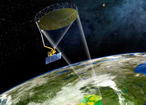
In order to assess the vegetation parameterization associated with soil moisture retrievals for both passive and active microwave sensors, the characterization of the vegetation is an important aspect of the SMAPVEX16-MB campaign.
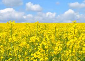
The variety of crops grown in southern Manitoba is substantial, and the focus should be placed on major crops (winter and spring wheat, canola, oats, corn and (soy) beans). Two fields of pasture/forage will also be selected.
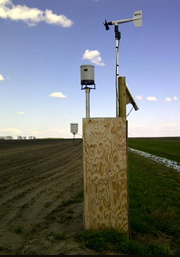
A number of vegetation properties will be measured during SMAPVEX16-MB campaign. Some of these properties are static (plant count, row spacing, row direction) and will be measured only once. Others are dynamic (Leaf Area Index, biomass, canopy water content, size, height, phenology, etc.) and require repeated measurements. For the dynamic properties, the sampling strategy will consist of collecting vegetation data at three sites per field, at least once per week due to significant changes in vegetation characteristics during the field campaign.
In addition a Crop Scan multi-spectral instrument will be used to capture the reflectance of crop canopy in order to characterize the general crop condition and growth state. Measurements will be recorded once a week.
Besides, a drone-mounted Micasense RedEdge 3 multispectral camera will be used to acquire field-scale multi-spectral crop scans. The drone schedule will be managed to facilitate the capture of a weekly image at each field during the campaign.
A summary of the vegetation sampling is presented in the following Table. More details can be found here.
| Vegetation property | Number of sites per field | Replicates per site | Instrument | Temporal frequency | Description of approach | Assigned team |
|---|---|---|---|---|---|---|
| Static vegetation parameters | ||||||
| Plant count | 1 | 10 | Meter stick, tennis ball | once | Count number of plants along 1 metre | AAFC students prior to campaign |
| Row spacing | 1 | 10 | Meter stick | once | Measure the distance of the two rows adjacent to the plant density count | AAFC students prior to campaign |
| Row direction | 1 | 1 | Compass | once | Measure row direction using magnetic North as a reference | AAFC students prior to campaign |
| Dynamic vegetation parameters | ||||||
| Leaf Area Index | 3 | 14 | Camera and fish eye lense | once per week | 7 photos taken along 2 transects (14 in total) | Biomass Team |
| Biomass and canopy water content | 3 | 10 plants for corn and soybean, 0.5 x 0.5 m sample for every other crop | 0.5 x 0.5 m square | once per week | For canola, wheat, oats, barley, grassland, tame hay, collect all biomass within square; for corn and soybeans, collect five plants | Biomass Team |
| Height | 3 | 10 plants | Meter stick or tape measure | once per week | Measure height of plants that are collected from the biomass samples (10 plants, 5 in each row) | Biomass Team |
| Phenology | 3 | 1 | BBCH scale | once per week | Determine phenology for all three biomass samples | Lab Team |
| Point canopy reflectance | 1 | 14 | CropScan | once per week | One CropScan measurement for each LAI site (on site 2 or 3 of the field) | Biomass Team |
| Field scale reflectance | Entire field | 1 | Drone-mounted Micasense RedEdge 3 camera | once per week, from May 30th to July 29th | U of M. Team | |