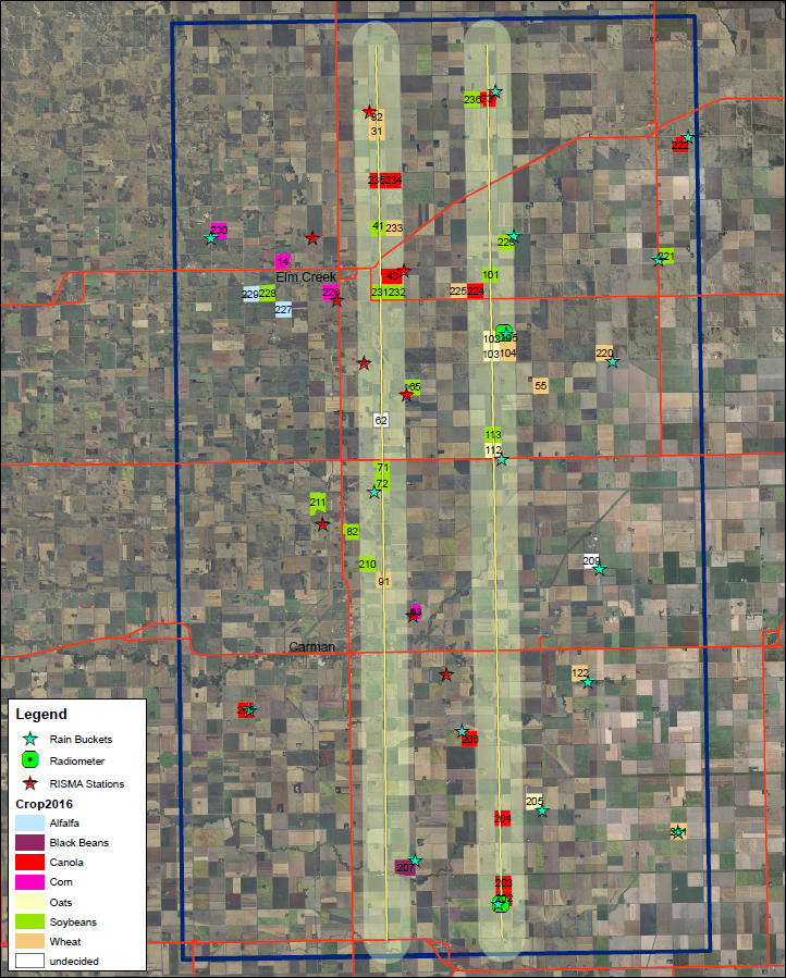
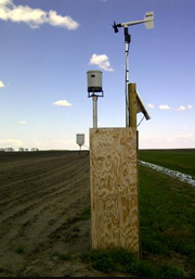

PALS flightlines
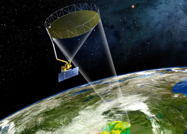
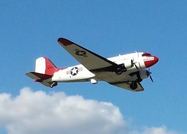
The Passive/Active L-band Sensor (PALS) will be on board DC-3 to collect both brightness temperatures and radar products simultaneously to ground measurements of soil moisture. PALS will be mounted at a 40° incidence angle for a 360° conical scanning operation. It will be augmented with additional components designed to detect and mitigate Radio Frequency Interference (RFI). The PALS flight lines were designed to satisfy the major objectives of SMAPVEX16. Data will be acquired at Low (1200 m) and High (3050 m) altitudes. The spatial resolutions at these two flight altitudes are summarized in the Table below.
| Target Altitude (m) | Nominal Ground Elevation (m) | ASL (m) | Along Scan Resolution (m) | Across Scan Resolution (m) | Effective Resolution (m) |
|---|---|---|---|---|---|
| 1200 | 305 | 1505 | 581 | 777 | 595 |
| 3050 | 305 | 3355 | 1476 | 1974 | 1513 |
Two low altitude lines were designed to provide high spatial resolution data for fields/sites with homogeneous vegetation conditions. They should provide the data necessary for algorithm development and validation since they will cover a range of agricultural conditions and the sampling sites will be located directly within the swath of these lines.
The high altitude lines will map the SMAP grid pixel for investigating SMAP radiometer sub-pixel features. A total of six lines which are spaced ~ 4.5 km will cover SMAPVEX16-MB domain (~ 26 km x 48 km).